Golden.Software.Voxler 2 v2.4.1255 32&64.bit
http://forum.civilea.com/showthread.php?tid=24828
- Your 3D Data Visualization Solution -
Size: 32 bit: 28.92; 64.bit: 31.22 MB
 |
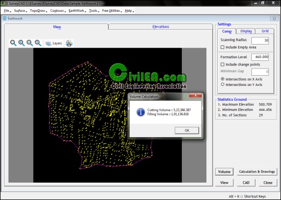
| بند انگشتی, برای دیدن عکس به صورت کامل بر روی آن کلیک نمایید |
 |
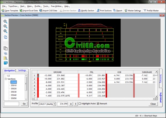
| بند انگشتی, برای دیدن عکس به صورت کامل بر روی آن کلیک نمایید |
Create powerful, fast, customized 3D images of your data with Voxler 2. Easily import data in a multitude of file formats to create stunning graphics to explore the relationships in your data set. This robust, yet easy-to-use program gives you the power to display your data in a variety of formats and colors, capture video animation of your moving model, and select from several image and data export options.
Features
What's New in Voxler 2?
Voxler 2 —Unleash Your 3D Potential
Import Vector Formats:
New import options include popular BLN, DDF, DLG, DXF, E00, GSB, GSI, MIF, SDTS, and SHP vector format files, giving you increased options to explore and generate data-rich images.
Combine 3D drill holes, topography, and isosurfaces on a dramatic black background
to outline an ore body in a mining area using an imported DXF file.
Capture Video Animation:
Create an AVI file to share your 3D models using Voxler’s new video capture feature. Capture each rotation, zoom, and pan motion, in addition to all property changes to highlight and minimize data features.
Automate Repetitive Tasks:
Save time by creating your own scripts to automate repetitive tasks. Operations performed interactively can be controlled through an automation-compatible programming language like Visual Basic (VB), C++, Python or Perl. Voxler includes Scripter™, a VB-compatible programming environment enabling you to write, edit, debug, and run your scripts.
Undo/Redo Commands:
The new undo and redo commands allow you to quickly re-evaluate recent modifications. Simply click on the undo or redo arrows on the toolbar to step back through your recent changes until you reach the point where your model looks exactly like you want it.
Import Georeferenced Images:
Save time by importing geotiff image files (BMP, TIF, JPG, SID, etc.) in their real-world XY coordinates.
64-bit Installation Option:
Take advantage of Windows 64-bit versions to access more memory using Voxler.
Excel 2007 Compatible:
Voxler now supports Excel 2007 XLSX files for more compatibility with today’s software.
Locate Your 2D Grids Correctly:
Import your Surfer GRD, DEM, and other 2D lattices with the option to import the height of the grid as both the Z and C value. This allows easier scaling of maps using these formats.
Quickly import and customize a Surfer® GRD file in Voxler 2
Expanded Import Capabilities:
Among other import improvements, you can now import SID files directly into Voxler.
Database Support:
Import your Access MDB and dBase DBF database files directly into Voxler.
Ultimate Data Compatibility:
Import your data from most popular formats, including Globe DEM, Arc/Info, ESRI, CPS-3, Zycore Z-MAP Plus, Banded Grid BIL, ETOPO5, ER Mapper, Geosoft, Grid eXchange, and Idrisi grid formats.
Enhanced Export Options:
Specify the resolution and quality of your files when exporting to all image formats. Specify high-resolution, press-quality formats for printing or low-resolution for easier sharing and saving disk space.
New Export Formats:
Export to a variety of data file formats, including these new raster export formats: EPS, PCX, and PDF.
Increased Speed and Functionality:
You will benefit from Voxler’s enhanced user experience. Golden Software updated the underlying system to help you produce better images in less time.
Superior User Interface:
The updated user interface increases your productivity with the addition of undo and redo commands, more intuitive icons, customizable mouse and keyboard settings, and movable task areas and view windows you can recolor if desired.
Voxler implements a modern user interface with dockable and floating windows
and toolbars. The Network window graphically displays the connections between
data and output, and Properties window lists the settings specified for each module.
Increased Ease of Use:
Have you ever returned to an old image to wonder how you created it? With the powerful network window, the source files, transformations, and calculations are visually connected to record your settings for the current data, or for use with a new data set.
Always Up-to-Date:
Know you are always using the latest version of Voxler 2 with the new automatic update checker.
The new Options dialog increases ease of use as you customize the views,
movements, colors, and functionality to work more efficiently in Voxler 2.
Efficient Error Resolution:
The automatic error logging tool lets us know you received an error message. Should this happen, a member of our technical support team will contact you to resolve the error and get your project moving again.
Voxler 2.4.1255 32&64. bit
- Released April 7, 2011
- OS: Windows XP SP2 or higher, Vista, or 7 or higher
- 100MB of free hard disk space
- 512MB RAM minimum, 1GB RAM or higher recommended
- 1024x768x16-bit color minimum monitor resolution
http://www.goldensoftware.com/produc...r/voxler.shtml
- 32 bit:
http://www.mediafire.com/file/mh0855...255-32.bit.rar
- 64 bit:
http://www.mediafire.com/file/te7d5g...255-64.bit.rar
serial present
password:
www.CiviLEA.com-2011101
x32
http://www.filesonic.com/file/977338274
http://www.fileserve.com/file/gTq2ser
x64
http://www.filesonic.com/file/977338071
http://www.fileserve.com/file/nXdJabg


 پاسخ با نقل قول


علاقه مندی ها (Bookmarks)